UK weather - Storm Darcy leads to heavy snow forecasts for parts of England
- 4 years ago
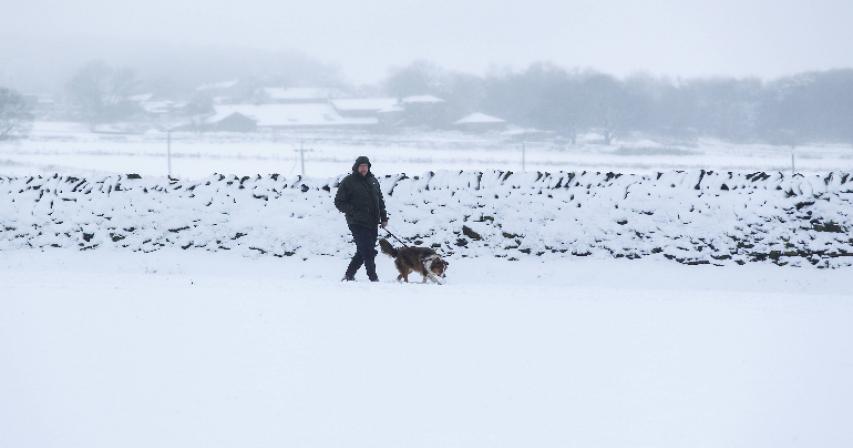
More heavy snow is forecast for the east and south-east of England, with severe weather warnings in force.
The Met Office said it was "bitterly cold" due to Storm Darcy's strong easterly winds, with temperatures in parts of the UK around freezing.
An amber warning - meaning travel disruption and power cuts are likely - is in place until midday on Monday.
There is also an amber warning for snow in the East Midlands and Yorkshire and Humber until 14:00 GMT.
And less severe yellow warnings for snow and ice have been issued for large parts of England, Scotland and Northern Ireland.
Further snowfall in some eastern parts of the country could bring up to 15cm of snow on Monday, with a few lighter flurries elsewhere in the UK, BBC Weather forecasters said.
There could also be as much as 15cm in parts of the East Midlands and Yorkshire and Humber, particularly over the Lincolnshire Wolds.
It comes after widespread snowfall in eastern regions of the UK and 14cm (5.5in) of snow was recorded at Manston, Kent, on Sunday evening.
The cold snap prompted the closure of Covid vaccination centres in Essex and Suffolk on Sunday.
Southeastern Rail strongly advised passengers not to attempt to travel on its network on Monday, saying a number of lines were closed.
Southern Rail said it planned to run services on all routes, but if the weather worsened some may need to be closed.
BBC Weather forecaster Nick Miller said it was a "very cold week to come" with day temperatures close to freezing, and overnight frost making it feel "colder still" with "significant windchill".
He said there were "plenty of snow showers out there to start the week, especially in eastern areas of the UK".
In the south east of England, eastern England, the Midlands and the North East, there is the greatest prospect of "significant" falls of snow and disruption, he added. Some areas will get "shower after shower, with snow building up".
However, the severe conditions brought by Storm Darcy are not expected to be as widespread as 2018's Beast from the East, forecasters say.
The amber warning - which also means disruption to gas, telephone or mobile phone coverage is likely - covers parts of Essex, Norfolk, Suffolk, Kent and Medway and lasts until midday.
Further north, an amber warning also covers Derbyshire, Lincolnshire, Nottinghamshire, North East and North Lincolnshire and South Yorkshire, until 14:00.
Yellow warnings - meaning there could be travel disruption and a slight chance of power cuts or communities being cut off - include:
• snow along the entire central and eastern length of Britain until the end of Wednesday
• ice in the south east of Northern Ireland until 11:00 on Monday, and then snow and ice from the late afternoons on Monday and Tuesday, until Wednesday
Parts of Scotland have already been hit by heavy snow, while there has been heavy rain in other areas.
Glasgow City Council said gritters were out on the roads on Sunday evening after a day of snow flurries.
In Cupar, Fife, homes have been inundated and a park flooded after the nearby River Eden burst its banks.
There were 37 flood warnings across England, as of Monday morning.
Recent rainy weather triggered a series of cliff falls over the weekend, prompting the coastguard to warn people to stay away from some seaside areas.
Cliff falls were reported at Aycliffe, Kent, in Scatby, Norfolk, and there was a rock slip at Sheps Hollow near Swanage, Dorset.
Meanwhile, Public Health England has issued a cold weather alert for the whole nation through to Wednesday.
Dr Owen Landeg said it was "crucial" people looked out for those who may be vulnerable during the current cold snap, calling on the public to make sure those at-risk have enough food and drink to stay warm and well.
Source: BBC


Comments